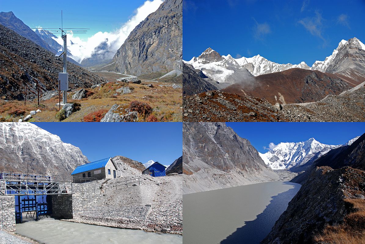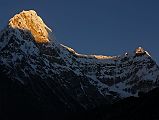


Rolwaling 05 12 Tsho Rolpa Early Warning Sirens, 6000m Peaks Northeast Of Kang Nachugo, Buildings At Tsho Rolpa, Tsho Rolpa From Kabug [11 of 21]
The giant Tsho Rolpa glacial lake had been a threat to breach its natural dam and flood the valley below, but there is now a deep trench cut into the terminal moraine to control the water level. Upper left: Early warning system sirens warn the villagers if there is any trouble from the Tsho Rolpa. Upper right: A few 6000m peaks came into view to the east of Kang Nachugo just before reaching Tsho Rolpa. Lower left: The trail from Sangma Kharka climbs steeply for 45 minutes above the Rolwaling Chu to reach the buildings at the head of the Tsho Rolpa (4540m). Lower right: The trail from the head of the Tsho Rolpa follows the south side of the terminal moraine of the lake to a campsite at Kabug (4560m) in 30 minutes. I climbed the terminal moraine above Kabug to get an excellent view of Tsho Rolpa and Bigphera Go Shar (6729m) at the head of the valley.
